|
| *****SWAAG_ID***** | 816 |
| Date Entered | 15/07/2014 |
| Updated on | 16/07/2014 |
| Recorded by | Tim Laurie |
| Category | Mining Related |
| Record Type | Industrial Archaeology |
| Site Access | Public Access Land |
| Record Date | 13/07/2014 |
| Location | Stainmore Summit. The Track of the Railway from Barnard Castle to Tebay east of Stainmore Summit. |
| Civil Parish | Bowes |
| Brit. National Grid | NY 8837 1243 |
| Altitude | 1370ft above sea level. |
| Geology | Namurian strata south of line of the Stainmore Summit Fault, with cuttings for the track through The Little Limestone and with exposures of blanket peat. The Little Limestone is stratigraphically above the Main Limestone but, here on the downthrow side of the Stainmore Fault , it is 100ft below the Main Limestone which is exposed at the Roman Marching Camp on the line of the A66. |
| Record Name | Stainmore Summit. Images of the track of the disused railway from Barnard Castle to Tebay. |
| Record Description | The railway line across Stainmore was completed in 1861 and operated mainly as a freight line taking coke from the Durham Coalfield to the Iron Smelting Works at Barrow and Iron ore from Cumberland to the steelworks at Middlesbrough. the line closed in 1965 and operated for more than 100 years.
The Stainmore Summit sign survives, but the track here has been razed and covered with spoil from the new A66 road. However, to the east of the Summit the track of the line is well preserved and is now, effectively, a fine nature reserve. |
| Dimensions | See photos |
| Additional Notes | The moorland scenery here is dramatic, especially on an overcast day with wind and occasional rain. But I do not find this gloomy or depressing. This is a real English Moor and Mountain Wilderness especially when experienced alone. Unless of nervous disposition. I left the track and walked towards the even more isolated Roman Signal Station at Roper Castle on Moudy Me (see later SWAAG Record). My walk returned across the southern slopes of Husk How Hill above Aygill Pool Gill, returning to the Railway Track on the line of the County Boundary Fence crossing Deadman's Gill and White Brow. |
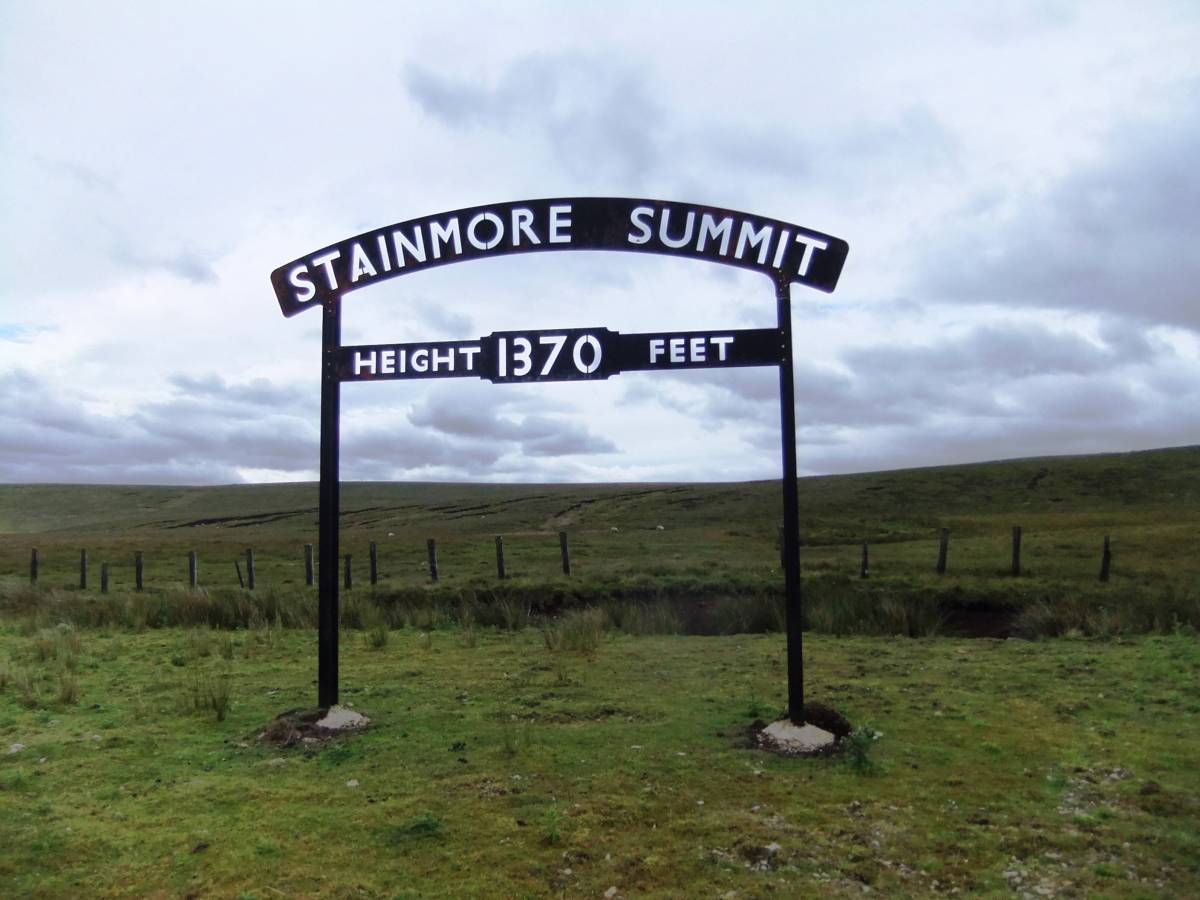
| Image 1 ID | 5568 Click image to enlarge |
| Image 1 Description | Stainmore Summit, the Sign. 1370 Feet above sea level. |  |
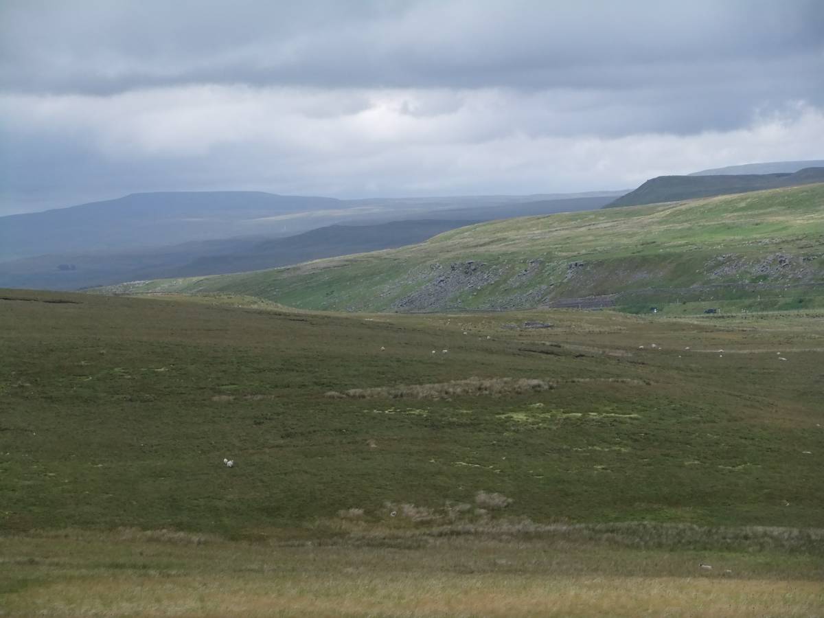
| Image 2 ID | 5569 Click image to enlarge |
| Image 2 Description | View across the defile through which road and rail pass. | 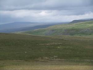 |
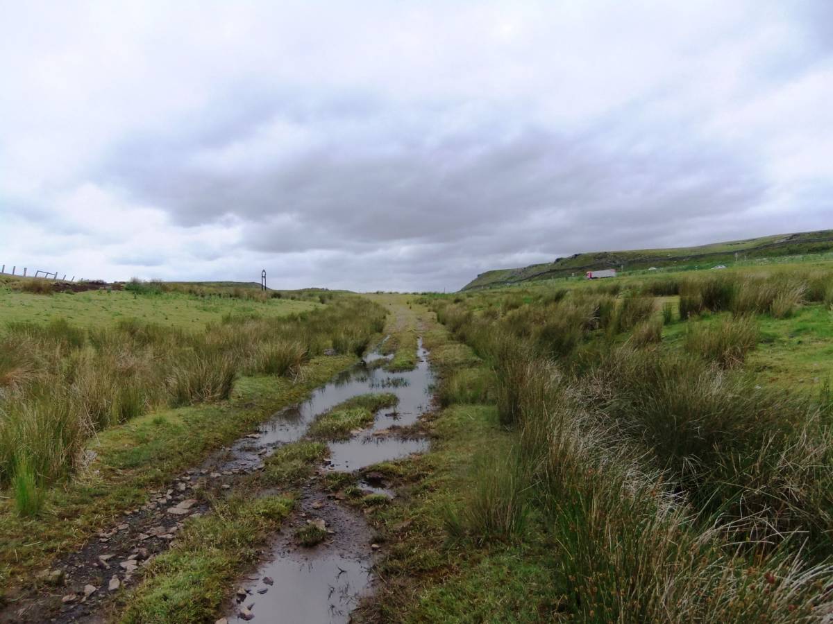
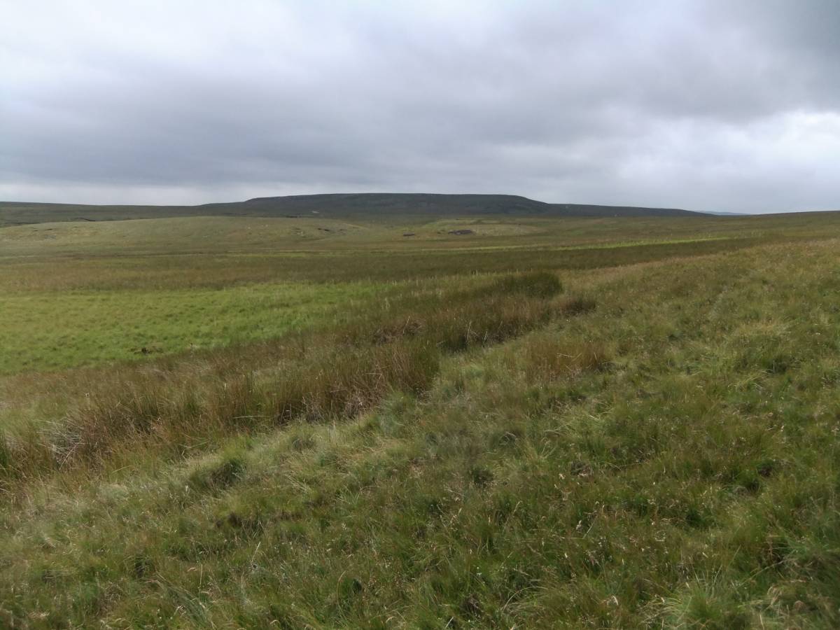
| Image 3 ID | 5570 Click image to enlarge |
| Image 3 Description | The track eastward from the summit | 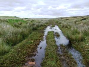 |
| Image 4 ID | 5571 Click image to enlarge |
| Image 4 Description | The track viewed westward to the summit sign. | 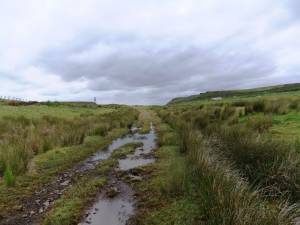 |
| Image 5 ID | 5572 Click image to enlarge |
| Image 5 Description | View across the line with Belted Galloway Cattle and articulated trucks parked by the A66. | 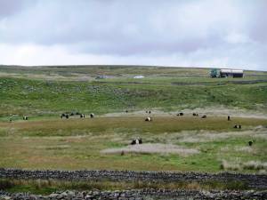 |
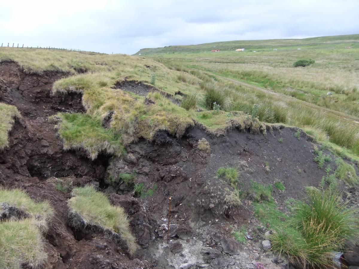
| Image 6 ID | 5573 Click image to enlarge |
| Image 6 Description | Slumped blanket peat at the side of the track. |  |
| Image 7 ID | 5574 Click image to enlarge |
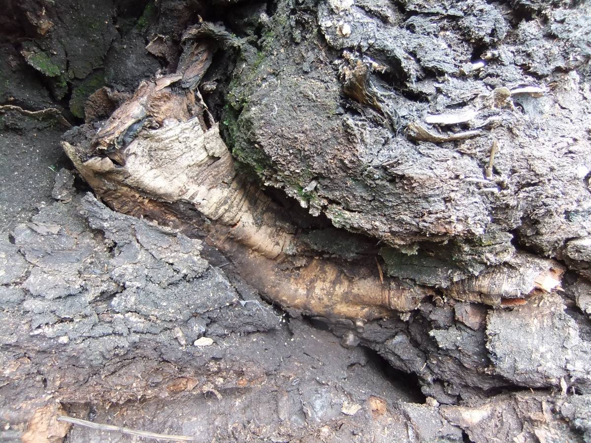
| Image 7 Description | Detail of the peat with massed remains of birch. Evidence for stunted birch woodland here during prehistory. | 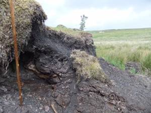 |
| Image 8 ID | 5575 Click image to enlarge |
| Image 8 Description | Detail of the stunted and wind calloused birch remains in peat. | 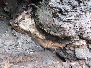 |
| Image 9 ID | 5576 Click image to enlarge |
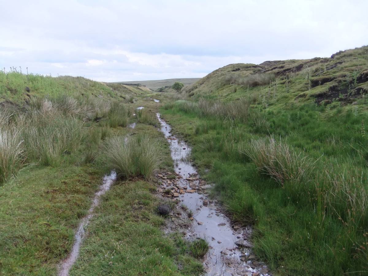
| Image 9 Description | Onward and downward towards Bowes. |  |
| Image 10 ID | 5577 Click image to enlarge |
| Image 10 Description | Onward and downward towards Bowes. | 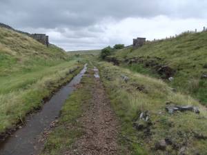 |
| Image 11 ID | 5578 Click image to enlarge |
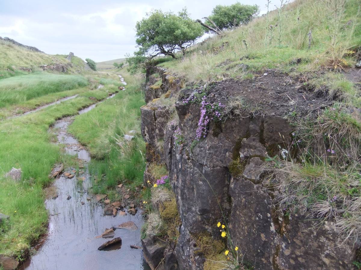
| Image 11 Description | Cutting through the Little Limestone for the track with Thyme | 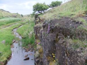 |
| Image 12 ID | 5579 Click image to enlarge |
| Image 12 Description | Cutting through the Little Limestone for the track with Thyme |  |
| Image 13 ID | 5580 Click image to enlarge |
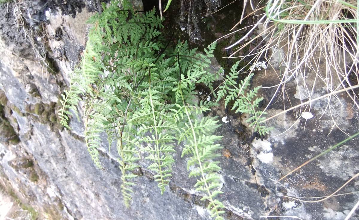
| Image 13 Description | Black spleenwort fern on the limestone by the track. | 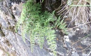 |
| Image 14 ID | 5581 Click image to enlarge |
| Image 14 Description | Two streams stained red by algae, with dense green swathes of Carex rostrata run beside the track | 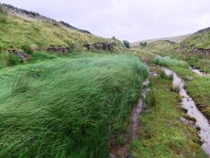 |
| Image 15 ID | 5582 Click image to enlarge |
| Image 15 Description | Occasional Sallows and Rowan the only trees. | 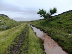 |
| Image 16 ID | 5583 Click image to enlarge |
| Image 16 Description | Golden Plover on wall by the track. | 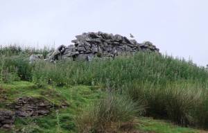 |
| Image 17 ID | 5584 Click image to enlarge |
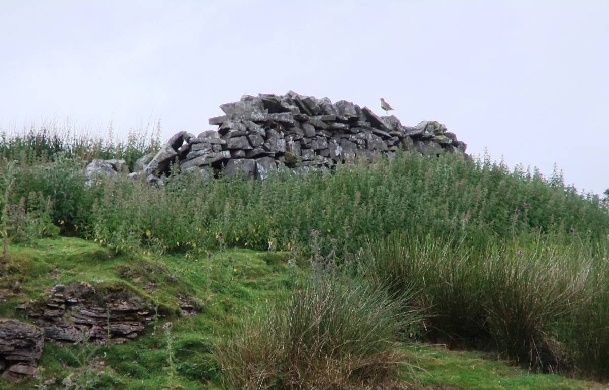
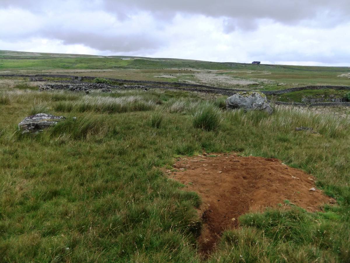
| Image 17 Description | View over the walled railway line to trucks parked by the A66 road, with fox earth, erratic boulder |  |
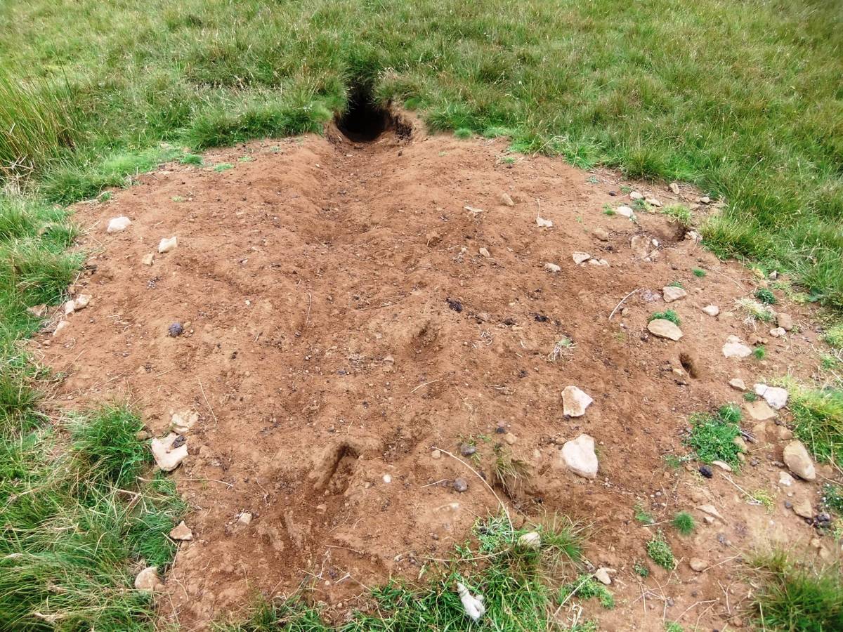
| Image 18 ID | 5597 Click image to enlarge |
| Image 18 Description | Fox earth. | 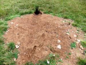 |
| Image 19 ID | 5586 Click image to enlarge |
| Image 19 Description | View north westward towards Roper castle, the Roman Signal Station, which is located beyond the high fells on the skyline. | 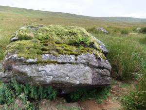 |
| Image 20 ID | 5587 Click image to enlarge |
| Image 20 Description | Sheep fold by the track. | 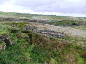 |
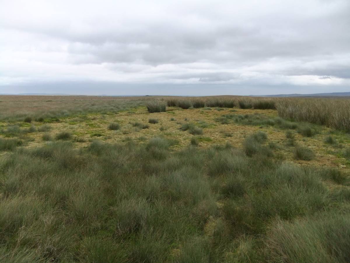
| Image 21 ID | 5588 Click image to enlarge |
| Image 21 Description | Stainmore. South of the railway. | 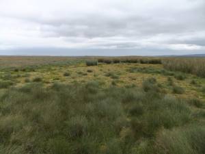 |
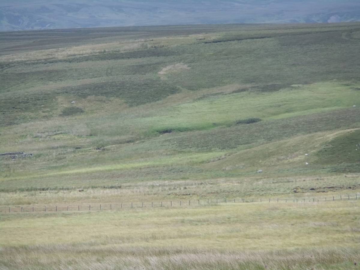
| Image 22 ID | 5589 Click image to enlarge |
| Image 22 Description | A Moor familiar to Beowulf or Harold Bloodaxe. | 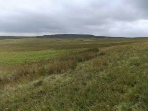 |
| Image 23 ID | 5590 Click image to enlarge |
| Image 23 Description | Home to Grendel's Mother. 'The Fell and Fen her fastness was... The Moor her Lair....' | 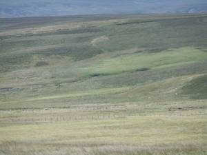 |
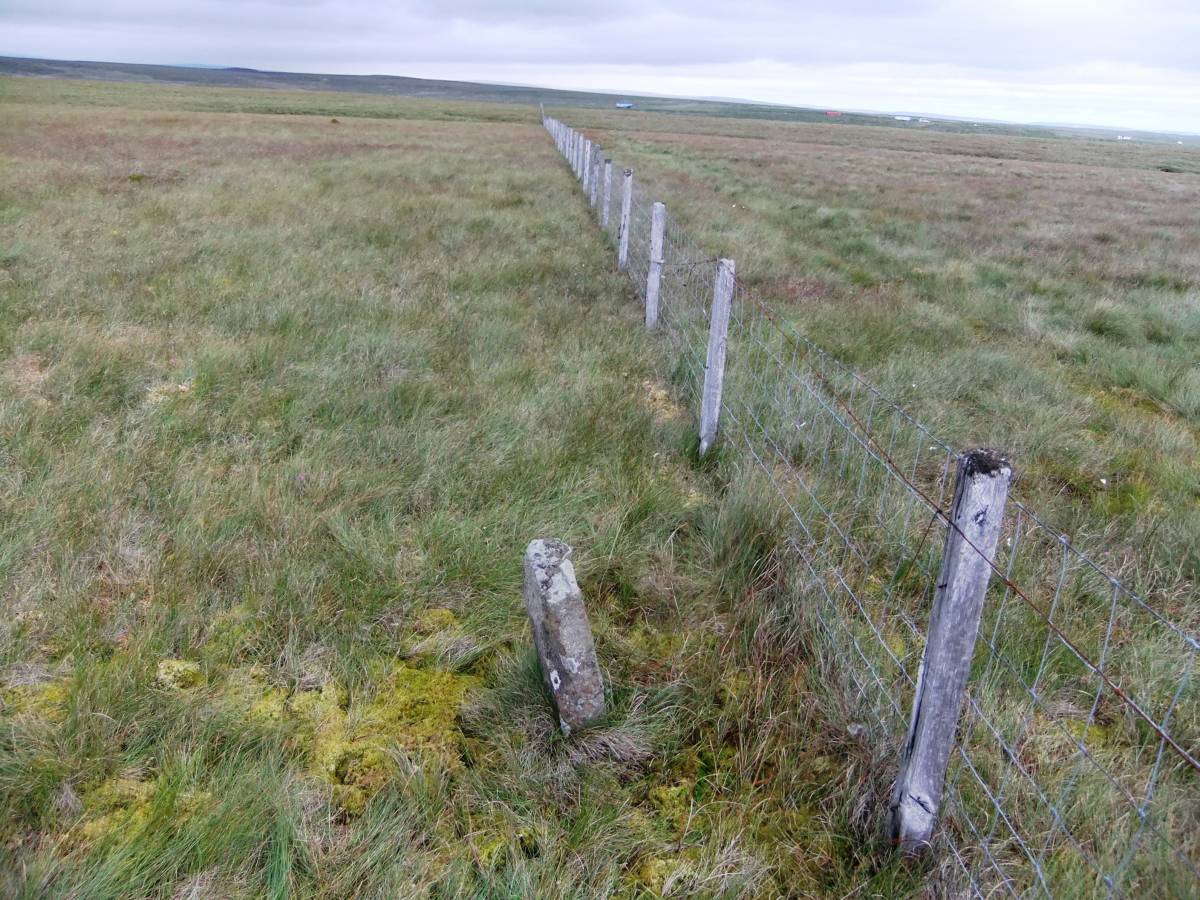
| Image 24 ID | 5591 Click image to enlarge |
| Image 24 Description | The way back follows this fence which is the County Boundary. |  |
| Image 25 ID | 5592 Click image to enlarge |
| Image 25 Description | From Boundary Stone to | 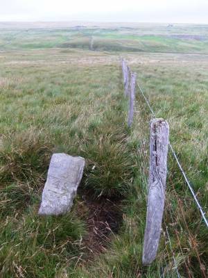 |
| Image 26 ID | 5594 Click image to enlarge |
| Image 26 Description | Boundary Stone.. | 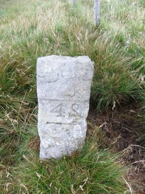 |
| Image 27 ID | 5593 Click image to enlarge |
| Image 27 Description | Lousewort. | 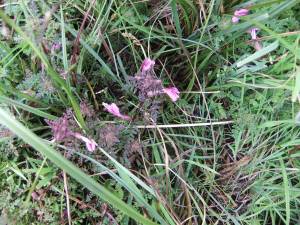 |
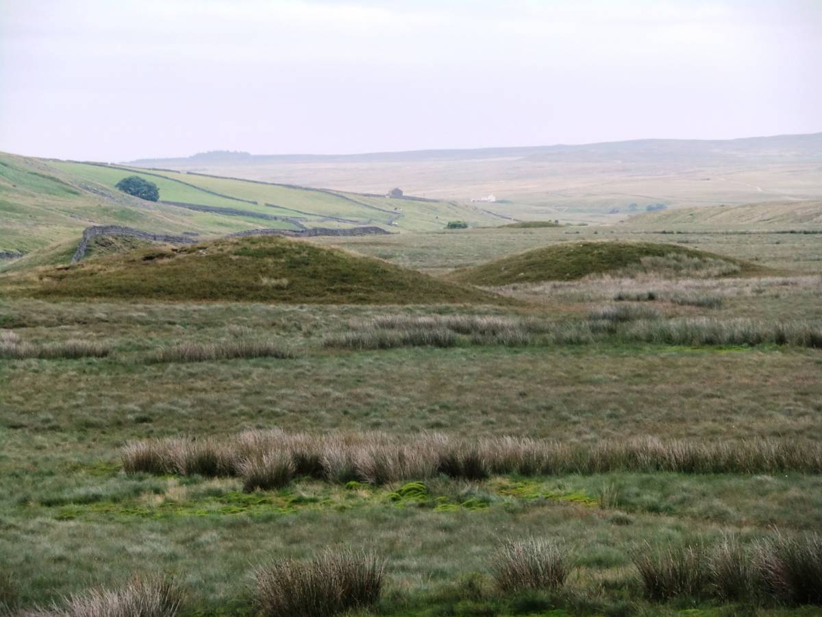
| Image 28 ID | 5595 Click image to enlarge |
| Image 28 Description | Drumlins, whose form mirrors long barrows, mark the line of the Stainmore Glacier which carried erratic boulders of Granite from Shap Fell and of boulders of volcanic ash from the Lake District to the Vale of York, to the North Sea as far south as Robin Hoods bay. |  |
| Image 29 ID | 5596 Click image to enlarge |
| Image 29 Description | Back on the track. Linesman's Hut at the County Boundary, beside the ruins of a bridge carried the line over a stream. | 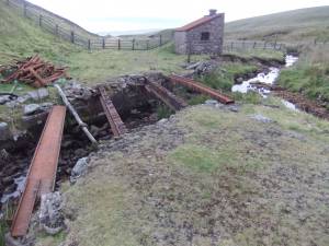 |